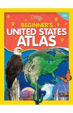
Learning about America is an exciting adventure with the updated fourth edition of this atlas specially created for children by the map experts at National Geographic. It's a big country, and the cartographic experts at National Geographic want youngsters to have the engaging tools they need to explore and understand it. This fully revised and updated United States atlas features large, vibrant maps custom designed for children, along with bright, bold photographs and lively text that bring the nation's people, places, and natural wonders to life. Featuring: Empowering instructions for how to read and understand maps Colorful physical and political United States maps 50 state maps designed to make it easy to find towns, cities, and physical features such as mountains, rivers, and lakes Lively essays highlighting each state's unique character and strengths Regional maps that highlight give each state's location a broader context A feature on United States territories More than 200 colorful photographs United States facts at a glance, such as the largest cities, the highest mountain, and the largest states by area And more!
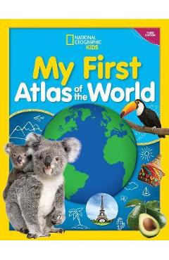
Spark our littlest explorers' curiosity about the planet we call home with this fully updated preschool atlas from the map experts at National Geographic. This updated picture atlas ensures that even the youngest explorers have the most current information to help them understand the world. Simple,